
The storm
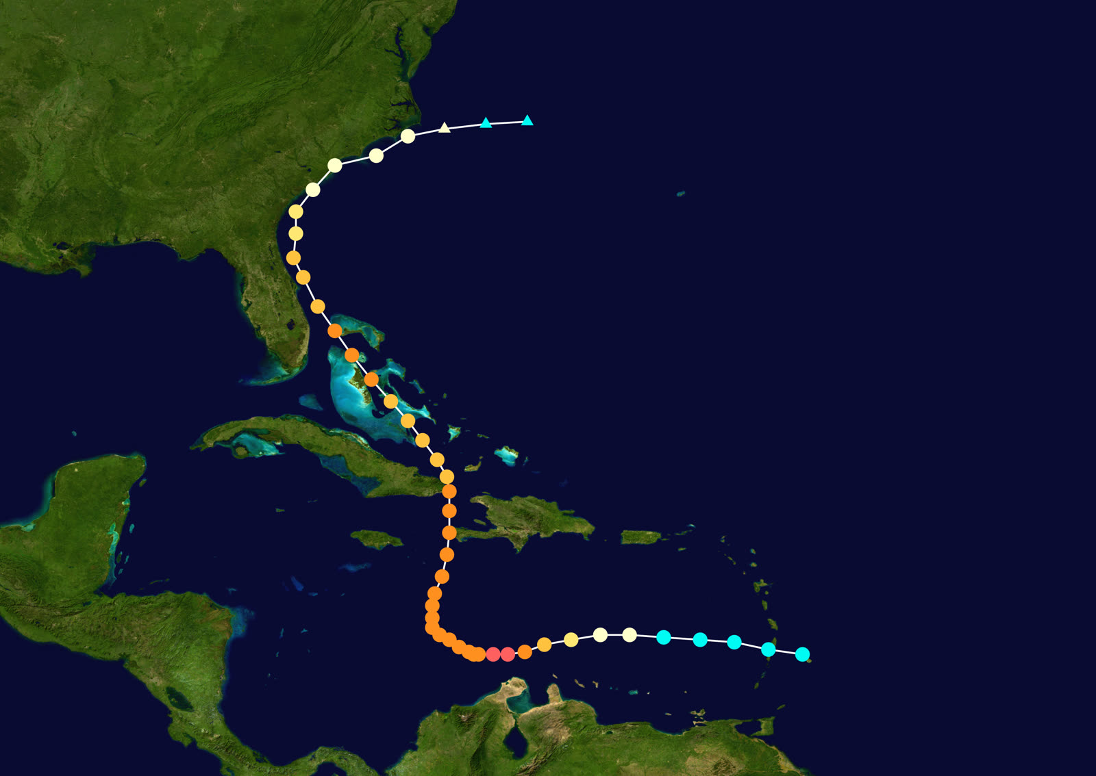
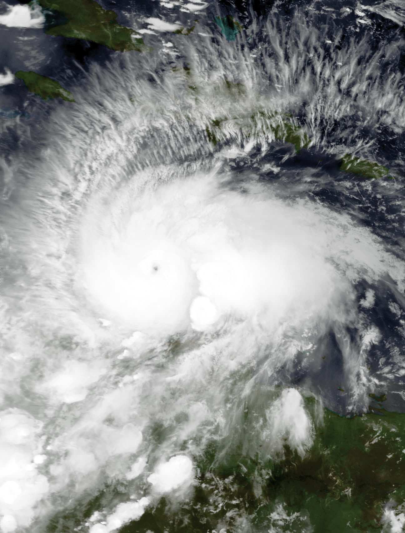
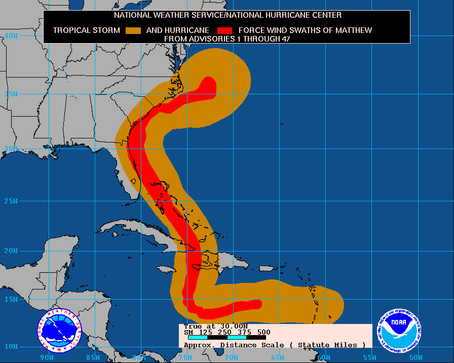
Matthew became the Atlantic's southernmost Category 5 on record on October 1, 2016, peaking at 165 mph in the Caribbean. It devastated Haiti's Tiburon Peninsula as a Category 4, over 500 deaths there, then crossed eastern Cuba and raked the Bahamas.
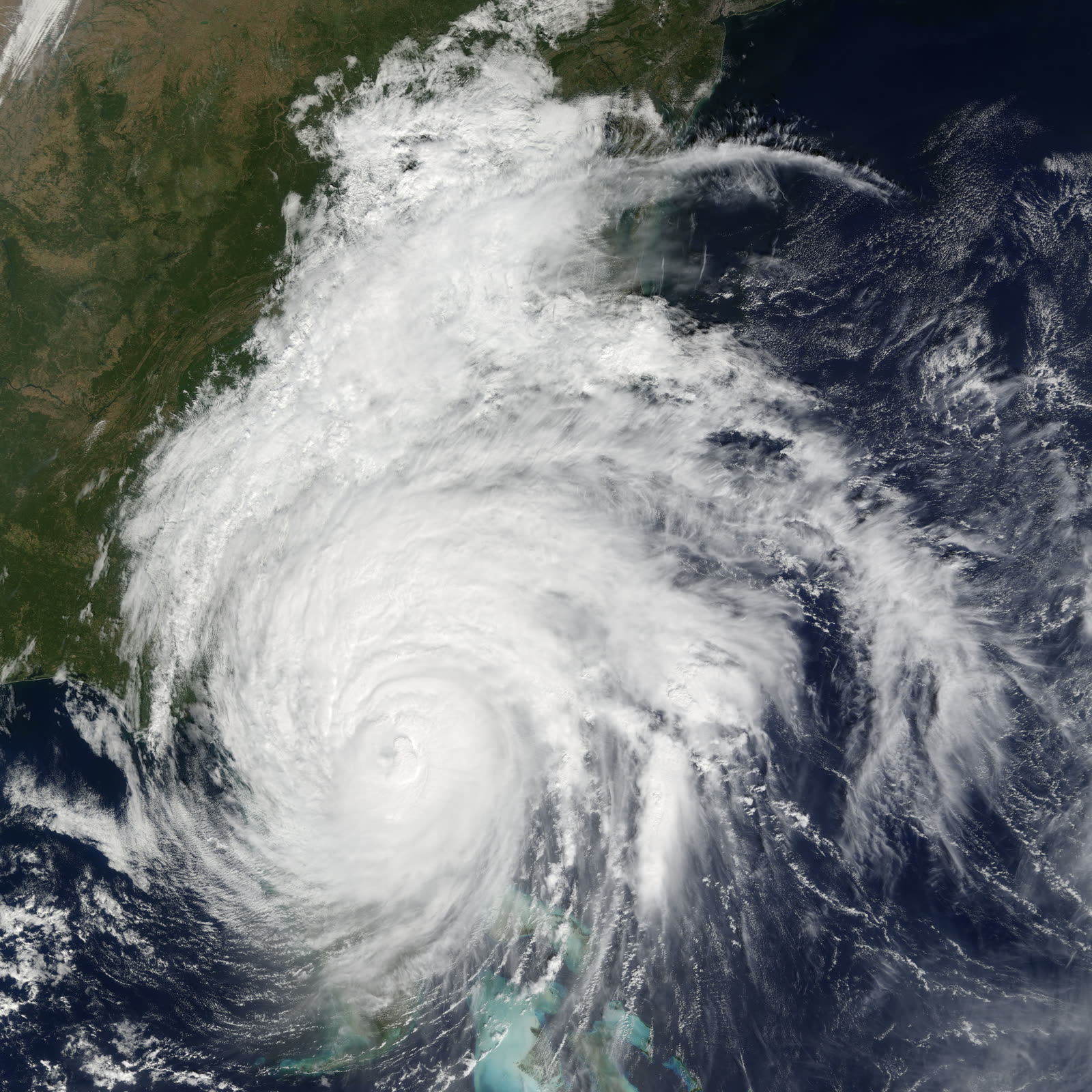
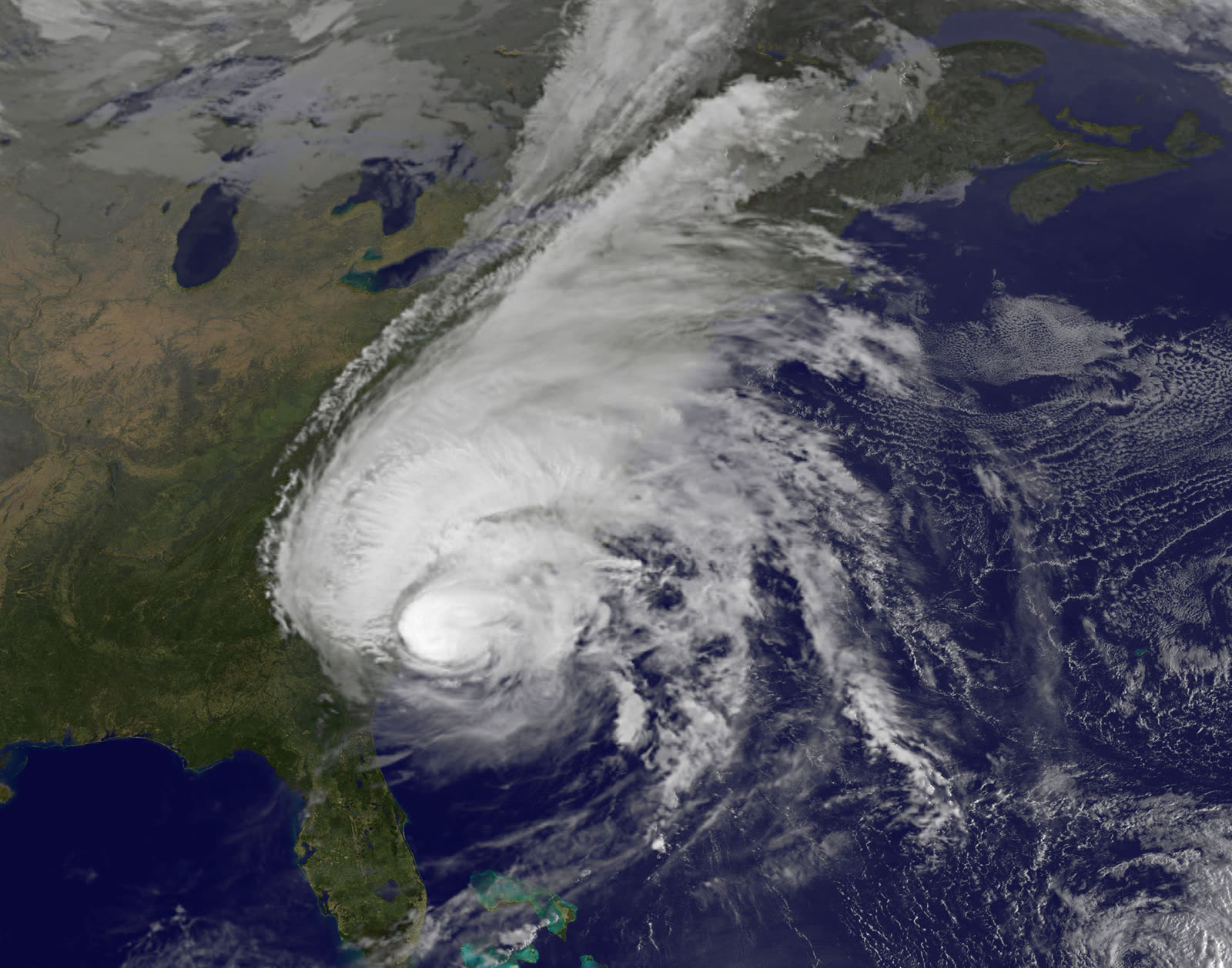
What followed was one of the strangest major-hurricane tracks in US history: Matthew paralleled the entire Florida east coast October 6-7 as a Category 3-4, its eyewall 25-40 miles offshore, never making landfall. The center hugged the Georgia and South Carolina coasts before finally coming ashore at McClellanville, South Carolina, Hugo's old landfall zone, at 11 a.m. on October 8, as a Category 1.
The rain kept going after the wind stopped. Ten to seventeen inches fell across the eastern Carolinas, and rivers crested days later at record levels. The US toll: 34 deaths and $10.3 billion in damage across Florida, Georgia, the Carolinas, and Virginia.
The damage
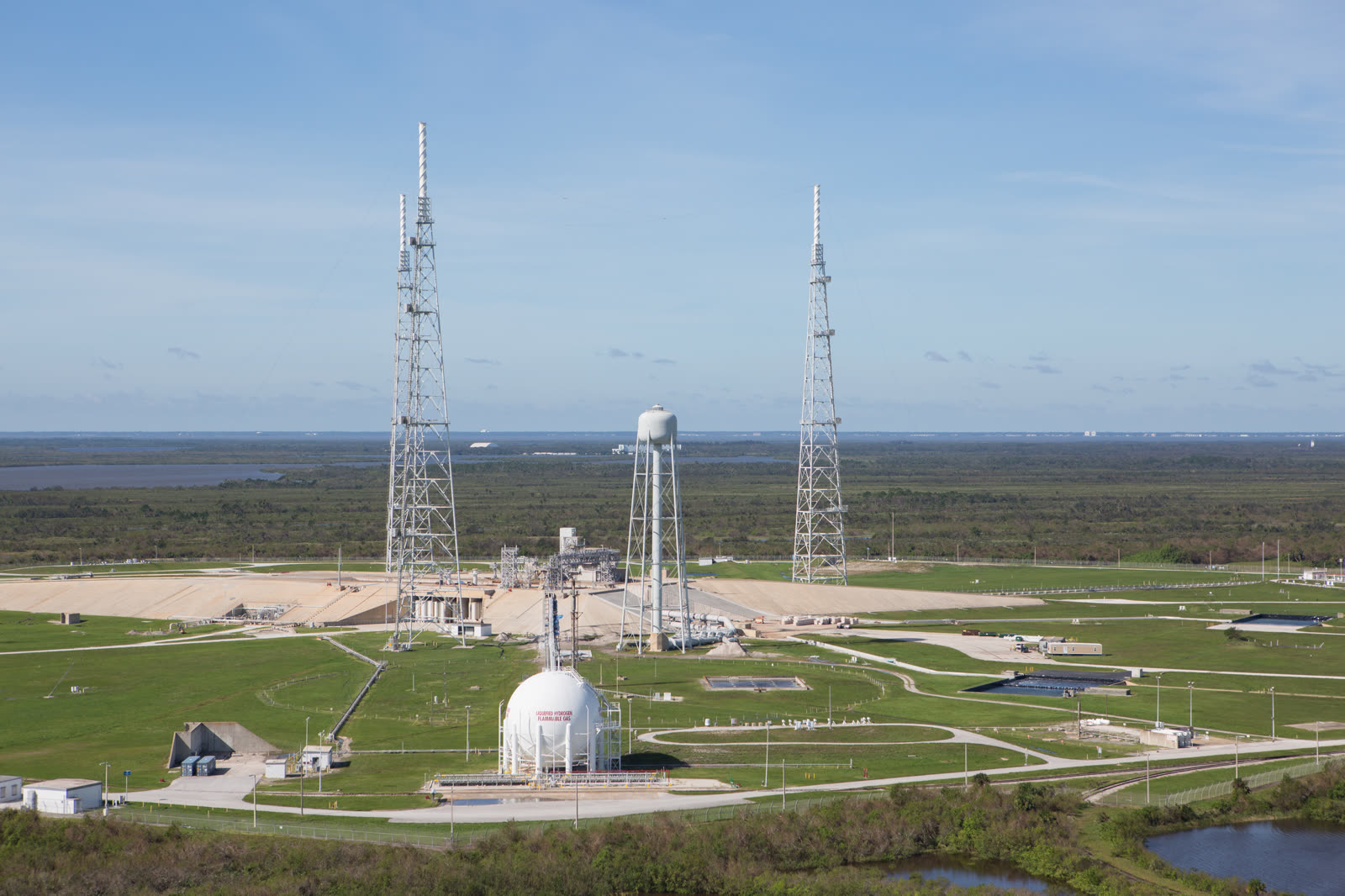
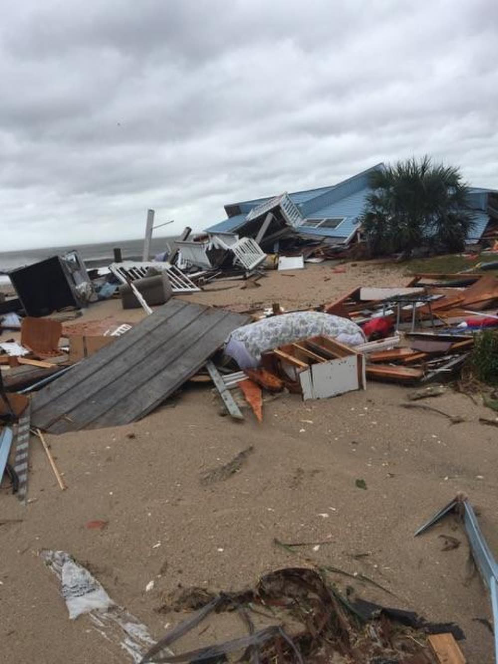
Florida's damage came without a landfall. Over a million customers lost power; Kennedy Space Center took roof and facility damage from the grazing eyewall; surge flooded St. Augustine's historic district and the Jacksonville beach towns; and erosion collapsed part of oceanfront highway A1A at Flagler Beach. Dune loss ran the length of Volusia, Flagler, and St. Johns counties, erosion that Ian and Nicole would finish off six years later.
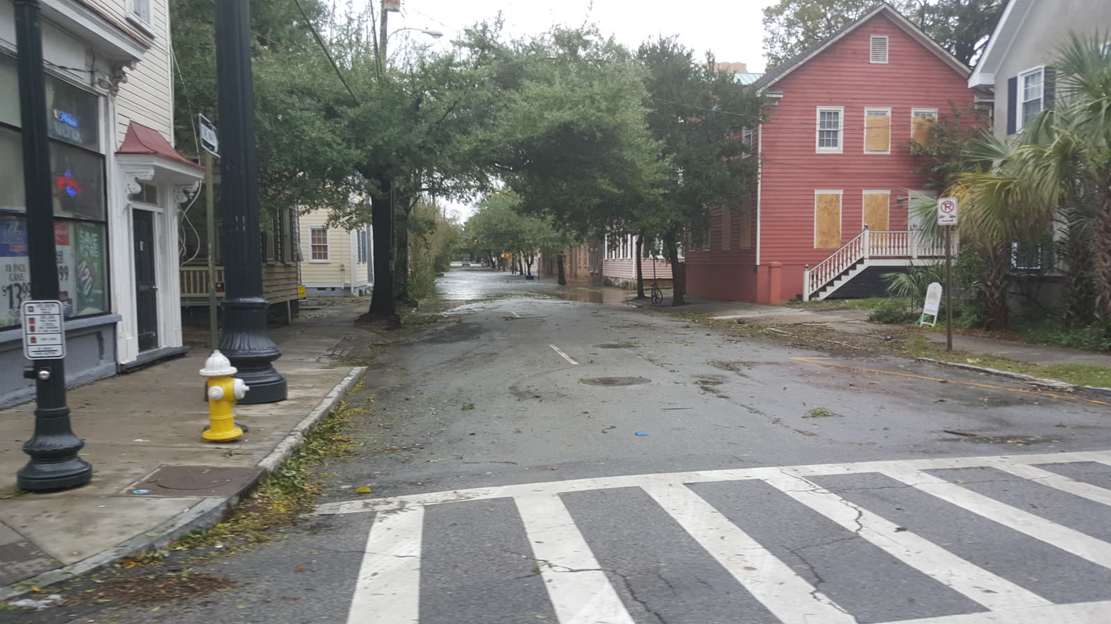
In South Carolina, Charleston flooded on one of its highest tides since Hugo, Edisto Beach took direct surge damage, and Hilton Head lost thousands of trees onto homes. Then came the inland flood: the Little Pee Dee and Lumber rivers put the town of Nichols underwater nearly end to end, days after the storm had passed.
The insurance aftermath
Matthew proved a near-miss is still a mass claims event. Two weeks after the storm, FLOIR's data call already showed more than 91,000 Florida claims, nearly 80,000 residential, with estimated insured losses of $550 million; the count kept climbing past 100,000. South Carolina's private insurance claims also totaled roughly $550 million. RMS put total US insured losses near $5 billion.
Because Matthew was a named hurricane, percentage hurricane deductibles (2-5% of dwelling limit) applied throughout both states, so a large share of Florida's wind claims, mostly shingle and screen-enclosure losses, closed below deductible. That math became the defining complaint of the storm: six-figure deductible thresholds against five-figure damage.
The coastal fights were about causation. St. Augustine and the beach towns took wind and surge together, and carriers attributed water-line damage to excluded flood; only NFIP or private flood policies responded below that line. Beachfront owners also learned that erosion and land loss are excluded entirely, a seawall and lost dune are not a covered peril, even when the house above them is newly condemned.
South Carolina's inland flooding was almost purely an NFIP event. Nichols and the Lumber River basin had minimal flood-insurance penetration, these were inland towns outside mapped high-risk zones, so FEMA Individual Assistance under DR-4286, not insurance, carried most households. It was South Carolina's second federally declared flood disaster in 12 months, following the October 2015 rain event, and the back-to-back losses pushed inland flood mapping and buyout programs up the state's agenda. When Florence flooded the same river basins again in 2018, Nichols flooded again.
What policyholders learned
- No landfall still means hurricane deductibles. A named hurricane offshore triggers the percentage deductible; documenting every category of damage (roof, screens, fencing, interior water) was what pushed claims over the threshold.
- The water line is where the claim gets contested. Mixed wind-surge losses in St. Augustine turned on evidence of wind damage occurring before the flood arrived, photos, timestamps, neighbor accounts.
- Erosion is not a covered peril. Oceanfront owners at Flagler Beach and Edisto found dune and land loss excluded; only damage to insured structures counted.
- Inland homes outside flood zones flood. Nichols was not a mapped high-risk area. Lender rules, not risk, drive flood-policy take-up, and rivers do not read flood maps.
- River crests lag the storm. Claims-critical documentation in the Carolinas happened days after landfall; owners who waited out the crest and photographed high-water marks had the stronger NFIP files.
Not legal advice; consult an attorney about your specific claim. Damage figures are nominal (not inflation-adjusted) unless noted.